Saturday, April 30, 2022

2022 Trip Southwest, Day 9 – Taos to Liberal


2022 Trip Southwest, Day 9 – Taos to Liberal, Saturday, April 30th

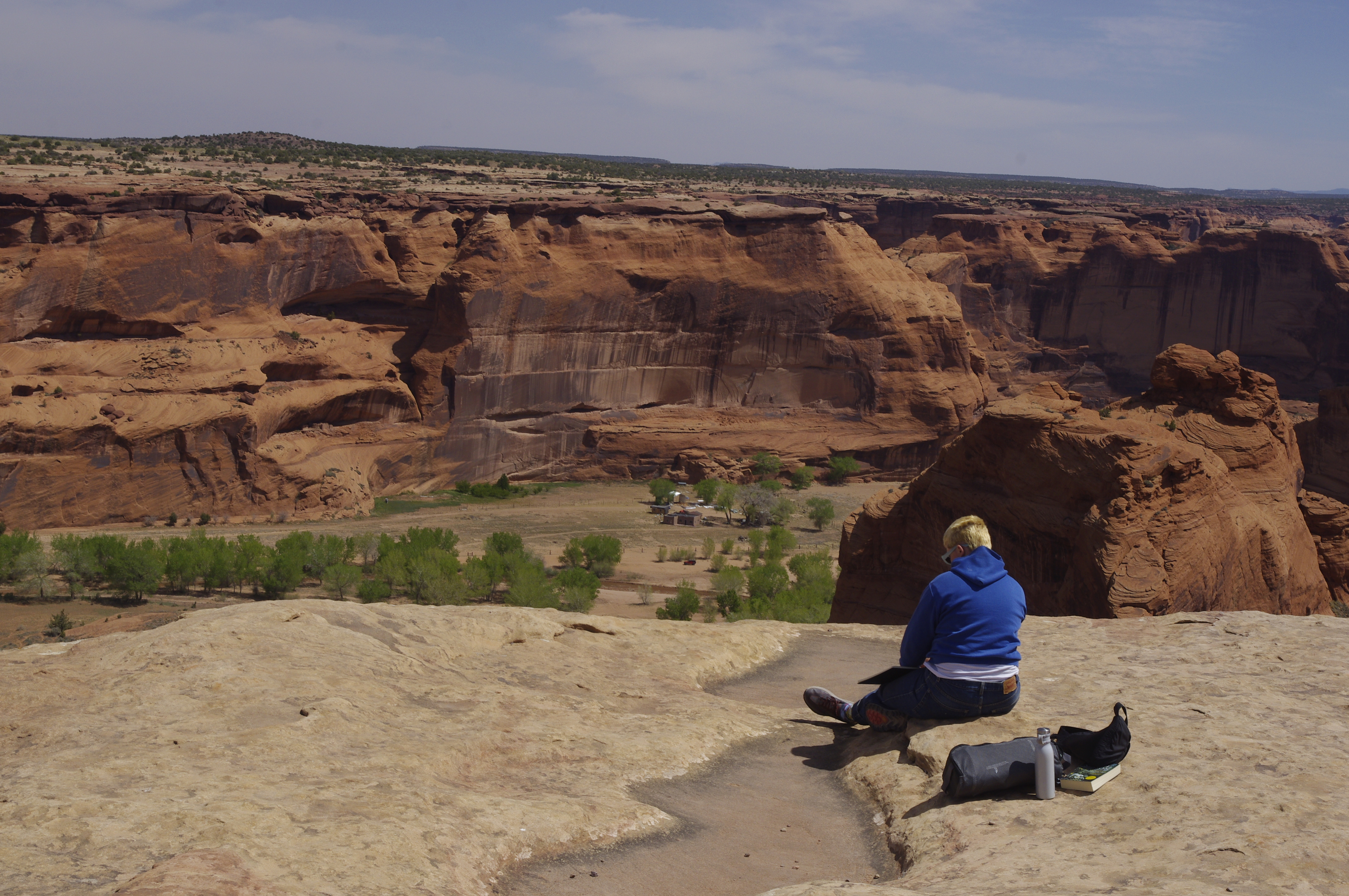
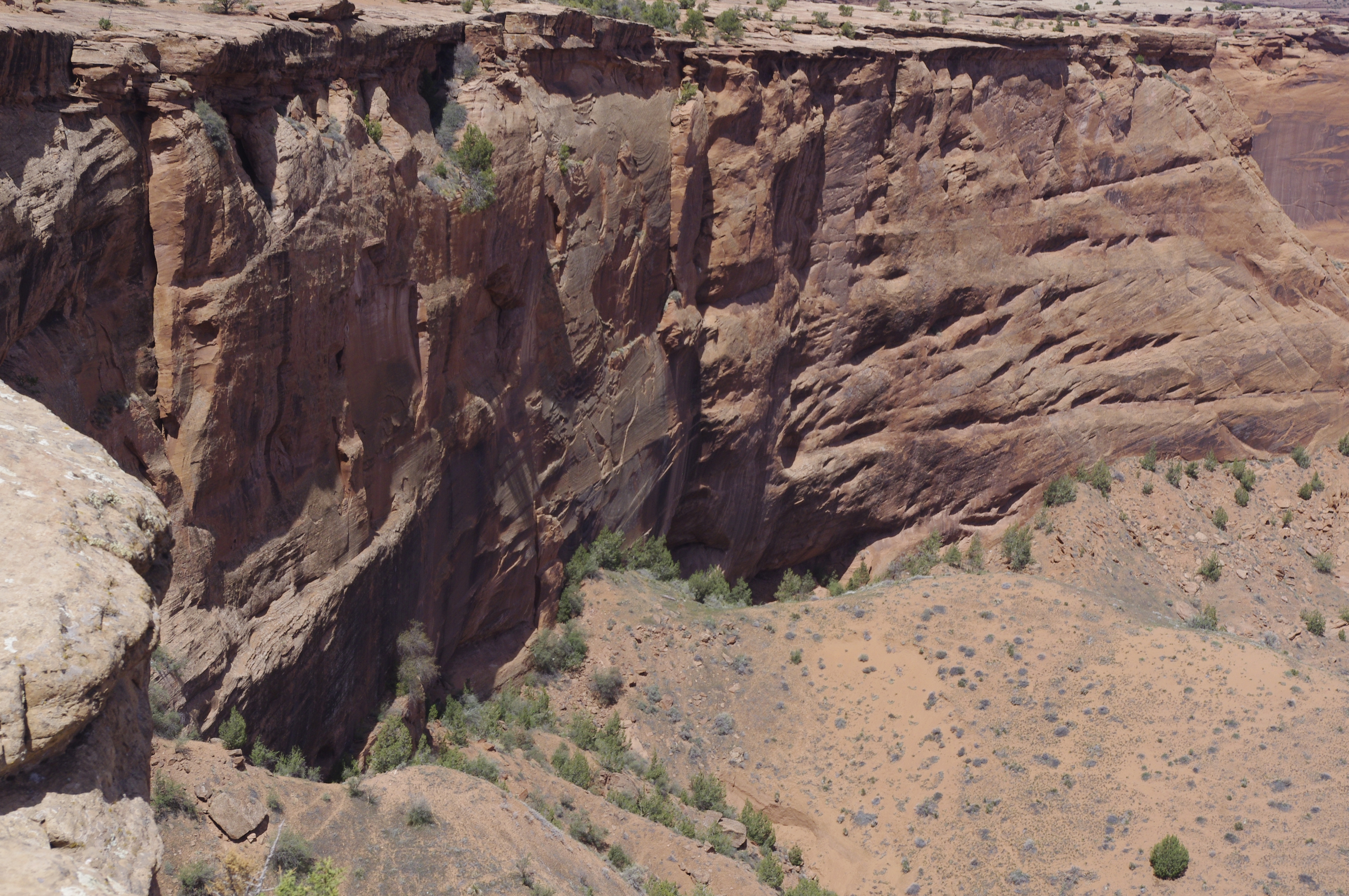
Today would have been our 45th Anniversary. I had planned to celebrate it at Canyon de Chelly, where we'd celebrated 3 times previously – 2007, 2012, 2017. So, instead, I planned to celebrate on Capulin Volcano. First couple of stops – Vietnam Veterans' Memorial and Raton Museum, went fine. Capulin was windy, and I didn't think I could handle the trip to the top. Drove the next 200 miles to Liberal, found I'd made the reservation for the wrong day. So I'm on the 4th floor, with all this stuff to load up tomorrow for a 460 mile trip. I'm at 2400 for the trip. Too tired to write more, but will add all the details (& some pix) after I get home.

Sorry!

EDIT:

Here's the story: Left about 0730 after motel breakfast. Quality Inn was OK, price higher than I'd like to pay, but this is Taos! On the way to US-64 east I went through 3 double-lane roundabouts, then climbed a short distance before a long descent, then back up to a high pass. I came down the steep east side to 8420' Angel Fire, site of the New Mexico Vietnam Memorial. We'd stopped there many times; I lost HS & USAFA classmates in Nam, and Sandra worked at the Army Home Town News Center typing up press notices during the time.


Left the area through a prairie dog metropolis with views of Mt. Wheeler, highest peak in New Mexico, still carrying a lot of snow. Eagle's Nest (town by a reservoir) has a large solar array and Tomboy Drive. Then it's down a long canyon road alongside the Cimarron River (in N.M., known as the 'wet' Cimarron) to Ute Park. Many barren hillsides between Ute Park and Cimarron mark the course of the Ute Park fire several years ago.

As I left the mountains, to the south I saw the plume of smoke from the major Hermit's Peak fire near Las Vegas (NM). I pass he Colfax Tavern at a crossroads in the middle of nowhere – it advertises an upcoming “Battle of the Bands” there. Pronghorns in abundance graze here, although the grass is still brown, even this late in the year.

He NRA Whittington Center has 4 skeet fields (I notice these, as you'd expect). It celebrates, and preserves a bit of, the Mountain Route of the Santa Fe Trail.


The road to Raton crosses the Canadian River, here a trickle in a small arroyo. In Raton, I stop at the local downtown museum and talk to Roger Sanchez, its curator and driving force. We first met him at a much smaller venue near the railroad. My favorite restaurant was closed at lunchtime, so I ate at overpriced and underflavored Cafe Lemus.

Next stop, about 25 miles down the line, was Capulin Volcano Nat'l Monument. Sandra & I first visited in 2002; in 2010 we hiked the rim and kissed at the top. This time it was colder and windy and I'm just a tad older,so I stayed at the parking area near the top and channeled Sandra – I talked to people. One couple was gravely disappointed that they couldn't see the snowcapped Sangre de Cristo Mountains; they hadn't heard about the ongoing fires upwind.

Our favorite volcano
                                                         Where are the mountains?

 I took a side trip to Folsom, to see if the museum was open. “Tomorrow,” they said. A flash flood many years ago led to a discovery by George McJunkin, a self-educated black cowboy, of spear points embedded in bison antiquus bones dated much earlier than the then-accepted time of human settlement. This definitely changed how we viewed ice age history.

The road goes through the Clayton-Raton volcano field, with the easternmost cone the famous Santa Fe Trail (Cimarron cut-off) landmark, Rabbit Ears. Crossing the Oklahoma border, the time suddenly became an hour later. Boise City had a real roadrunner running across the road; it also had lower gas prices, better than Guymon where I toppped off.

For the day: 338.7 miles, for the trip 2400.4.


Friday, April 29, 2022

2022 Trip Southwest, Day 8 – Bloomfield to Taos


2022 Trip Southwest, Day 8 – Bloomfield to Taos, Friday, April 29th

Woke up a bit early so got to an early start, 0639. US-550 is a 4-lane, undivided, highway through mostly desert country. But, like that other desert country where we've spent 20 years changing regimes, it has oil. Occasional oil wells near Bloomfield, but from Nageezi south, oil infrastructure is all over the place. Nageezi is also the turnoff to Chaco – which brings me to a couple of signs placed by someone(s) who disapprove of all the drilling: “Violence against land is violence against us” and “We are greater Chaco.”

I drove through a corner of the Jicarilla Apache reservation, complete with casino. Then came the Continental Divide, elev. 7350, at mile marker 76. This was my 8th crossing of the divide over 3 days. Drove through Cuba and the badlands south of it. Near the Rio Puerco, the road is bordered by high fences to push wildlife to a few secure crossing spots. The road runs parallel to the Jemez Mountains; at San Isidro NM-4 takes you into their heart. I continued to Bernalillo, where gas prices were a tad under $4/gal.

I-25 to Santa Fe is a race track, as drivers act like the 75 mph limit is a minimum. I drive more conservatively to get better gas mileage. Hit Santa Fe about 0945 and headed downtown. A quick tour of art on display at the Museum of the American Indian Arts Institute, this time focusing on the damage to indigenous cultures from uranium mining and bomb testing.

Then it was time for lunch at The Shed. Sandra & I discovered this popular cafe in 2005 and have eaten lunch there every time we've been in Santa Fe. I even got our favorite table, and took the picture I've always taken, only this time her chair was empty.

        Past photos showed Sandra smiling at me from the chair, while I was reflected in the mirror
 

I sat on a bench in the Plaza, as she always liked to do, bought something at the dime store, and found my way out to the Taos highway. I left the main road at Pilar and followed a riverside road to the bridge we liked to photograph. Found my way to the Taos plaza, and visited a book store and our favorite t-shirt shop. Oh, Horrors! My favorite restaurant, El Taoseno, is closed. I ate at Casa de Valdez, where the food wasn't as spicy as I remembered, but the service was just as bad.

                                                Palace of the Governors, Santa Fe
                                                Rio Grande bridge, bottom of the gorge
                                                            From the Taos plaza
 

I'm staying in an older chain motel, a Quality Inn. A bit short on outlets and the A/C is a bit small for the room, but I backed right up to the door!

For the day: 280.2 miles, for the trip 1059.

Tomorrow, April 30th, our 45th Anniversary. I will visit the NM Vietnam Memorial, stop and chat at the Raton Museum, and (if I'm up to it) climb Capulin Volcano, where we once celebrated an anniversary, & have dinner in Liberal. Roads for tomorrow: US-64 & US-54.

Thursday, April 28, 2022

2022 Trip Southwest, Day 7 – Gallup to Bloomfield


2022 Trip Southwest, Day 7 – Gallup to Bloomfield, Thursday, April 28th

Hit the road at 0721, a tad later than usual. Took US-491 north a bit to Ya-ta-Hey (a trans;iteration of the Navajo word for 'hello,' then a busy NM 264 to Window Rock, the Dine' capital. Then north on BIA-12 – a virgin road. This section of it runs for 50 miles through some very scenic country. The Window Rock area itself is rather suburban. Some of the settlements along the road have old, run-down government housing, while some have brand new houses.  Aside: how can you easily tell what direction is east when you're in Navajo country?  Answer below.

This road runs along the state line, so I crossed back & forth 10 times!. The rocks are tilted by some later uplift to the west.  I'll post a few pictures taken from along the road.

                                                            A lake along BIA-12
 
Mesa seen from road. Thick lava layer acts as caprock over the light-colored Chinle formation and red De Chelly sandstone

At Tsaile, home of Dine' College, motto “Where Your Future Begins,” I turn onto BIA-46 toward Chinle & Canyon de Chelly. I pull off at the Massacre Cave turnoff and take a few pictures. At Chinle, I stop at the NPS visitor center. They're still following high level covid protocol: masks, limiting occupancy, etc. I take off on the South Rim Drive, heading for the Spider Rock overlook. The rock, itself, figures in two of our anniversary celebrations, in 2012 & 2017. Since 2022 would have been our 45th, I originally planned to be here on Saturday. The replan forced on me moved this visit to today. Enjoy some pictures of Spider Rock.


I stopped at a couple of other overlooks and took pictures, as well.


                                                Artist working on the scenic view

Said farewell to my favorite canyon, and headed for my next stop, Totsoh Trading Post in Lukachukai. We had a 'small world' connection back in 2005-6, and bought Sandra's birthday presents, genuine Navajo rugs, here in 2012 & 2017.


Now I headed for the Chuskas and Buffalo Pass. I was delayed by a large flock of sheep & goats crossing the road, guarded by 4 dogs. Just as I started to pass, the herder showed up on horseback, who returned my wave. This road is an adventure, narrow, extremely curvy, and steep. Every guard rail shows where someone took a curve too fast. I wonder how those bikers, heading for it from the east end, fared. Altitude of Buffalo Pass is 8,482'. We once saw a Dine' couple smooching at the overlook.

                                               Ship Rock in the distance, from Buffalo Pass

The last site important to us is Ship Rock. Here's a shot from the west side.


Got to Bloomfield a bit before 4 PM, checked in and had a hot chile relleno with inedible beans and rice at the next door restaurant.

Answer:  Hogan doors always face the rising sun.

For the day: 269.6 miles, for the trip 1783.8. Another 50 miles of 'virgin' roads.

Tomorrow: Boogie down US-550 to Bernalillo, head north on I-25 to Santa Fe, and end up in Taos.

Wednesday, April 27, 2022

2022 Trip Southwest, Day 6 - Las Cruces to Gallup


2022 Trip Southwest, Day 6 – Las Cruces to Gallup, Wednesday, April 27th

Took off at 0645, found Murphy's Express for gas at $3.91 and wandered thru town looking for I-25. Only took ½ hour. Finally on the road heading north through pretty consistent desert country, passing 4 cars parked in the wide median, no persons around. Hit a couple of unexpected work zones, including a complete rebuild of the highway between Rincon & Hatch (Hatch, home of the best chiles in New Mexico). Passed a sign saying next exit: Derry Arrey. Turns out that they're two separate places close to the Rio Grande; here I thought it was a single town in the backside of nowhere.

I-25 crosses the not so grand Rio Grande at mile marker (mm) 58. Next come TorC and Elephant Butte. I pass signs for Spaceport of America, Jornada del Muerta, Fort Craig ruins, and Bosque del Apache NWR. I'm tired – you can look 'em up.

Comfort break at Socorro, where gas starts at $4.24. I now head west on US-60 (yeah, the same road that runs across southern Missouri). The sun breaks through the clouds on the mountains & yellow grasslands.

First stop is Magdalena, at 6,548 feet, a small town recently featured in New Mexico Magazine. Its roots rise from miners and cowboys; now it's artsy. The trading post/info center's host will talk your ears off.

                                            Magdalena Trading Post & welcome Center
 

The road goes through another pass and emerges on the Plain of San Augustin, the relic of a large long-ago lake and home of the Very Large Array (elev. 7030'), a series of radiotelescopes moved around by rail. The visitor center was closed, so I had to settle for some photos. 

                                                        VLA antennas & rail line
                                                Broad view of the plain and array HQ

I press on westward. The Cibola National Forest has the usual pinons and junipers, plus a few Ponderosas. Most of the hills & mountains I pass through are of volcanic origin. The altitude at the Continental Divide, just east of Pie Town, is 7,796.

I'd hoped for lunch and some New Mexico Apple Pie at Pie Town. That was not to be. Everything is closed down; the cafe where we ate on a previous visit is for sale as a home.

                                                        Sounds good - not open

I turn off on NM-603, an unpaved short cut that I hope proves scenic. It does, after a fashion I see a couple of big ranches, many trees and cattle guards, one longhorn, and only 3 other vehicles on the 22 mile drive.

                                                    Log house along NM 603


                                                        Road view, NM 603


Now on paved NM-36, I see the first prairie dog of the trip, skedaddling across the road. Then it's a long drive on NM-36 & NM-602, ignoring their ridiculously low 55 MPH speed limit, to Gallup, where I overpaid for an oil change. Lunch at Earl's was tasteless; supper at Don Diego's was excellent. I drove around & took a few pictures, marveled at the number of people wanting to donate $ to the Nation at the Navajo casino, then settled in on the 4th floor of this HIE.

                                                        Red Rocks park, Gallup
                                                    Navajo Code Talker statue, Gallup
 

For the day377.4 miles, 1514.2 for the trip.

Tomorrow: Bloomfield via Window Rock, Tsaile, Chinle, Lukachukai and Ship Rock.

Tuesday, April 26, 2022

2022 Trip Southwest, Day 5 – Portales to las Cruces


If a good breakfast is important, this one was a bad omen – no milk, no cinnamon rolls, cold eggs – but it turned out to be the worst part of the day. I hit the road at 0705, heading SW on US-70, driving 10 mph under the speed limit. This is flat country, all grazing land, punctuated by wind farms. I could see why this whole area was part of the llano estacado, given the absence of landmarks.

What happens when a diesel locomotive breaks down in the middle of nowhere? The touble shooter drives up in a company pickup and stands around with the engineer figuring things out. The next town is Elida (aside: Springer is home to Elida's Cafe, where I discovered posole), with little business. Just past Elida, I saw the first pronghorns of the trip. Kenna has a defunct gas station and little else. The country is empty, save the nice 4-lane highway, running thru it.

I pass Haystack Mountain off-road vehicle area and start the long drop to the Pecos valley. The first mountain appeared in the haze at 0808. I slow down to look at a nice 4-field skeet range, all buildings painted in desert tan. I come to the town it's named after.


Gas in Roswell ranged 3.85-3.99. Near the visitor center stands a statue of John Chisum, founder of one of the great cattle empires of the west, and underwriter of of the Tunstall store in Lincoln. Billy the Kid indirectly worked for him.


I paid $6 to tour the UFO Museum, once a testament to yellowing sticky tape, now an up-to-date museum with all the bells & whistles one would expect.


I next visited the Roswell Museum, strong on art and history. This was always one of Sandra's favorite places to stop, as it features local art (think Peter Hurd/Henriette Wyeth). That visit took almost a full hour.

I headed west on US-70, passing a Martian Martial Arts place and Buena Vida homesites. The road starts flat, then climbs up and down the foothills as I reach the Hondo Valley – it looks just like a Peter Hurd painting. The highway department is fixing guard rails, and not with shiny new ones – these look pre-rusted. Entering Ruidoso Downs (the town), I pass Ruidoso Downs (the racetrack) and the Hubbard Museum of the American Horse. An aside: the last time we stopped there, it was hosting the roots music exhibit – the same one our Johnson County Historical Society hosted. Ruidoso has a cell tower designed to look like a Ponderosa pine.

This area is part of the Mescalero Apache reservation, home of their spectacular ski resort and casino, Inn of the Mountain Gods (which holds a large collection of Allan Houser bronzes). The road climbs to Apache Summit, altitude 7591', then drops 3000 feet to the Tularosa Basin. Dust blowing off the white sand in the basin obscures the next range of mountains. I see my first (and only) dust devil of the trip in a vineyard east of the highway.

I bypass Alamogordo, drive right past the entrance to White Sands National Park, and start the long climb to San Augustin Pass. Now in Las Cruces, I head for the Solano Ave location of COAS bookstore, and find 2 hardbacks. Belated lunch is a chile relleno (green) plate at Las Trancas restaurant across the street. Then it's downtown to the main COAS location, and I depart with 3 more books. Check in at the HIE, a quick green chile cheeseburger at Whataburger (never again) and I'm in for the night.

For the day: 278.2 miles, for the trip 1136.7. No virgin roads today.

Tomorrow: Gallup via Socorro & Pie Town.

Monday, April 25, 2022

2022 Trip Southwest, Day 4


2022 Day 4, Greensburg to Portales - Monday, April 25th

A few more words about the Best Western Plus Night Watchman Inn: It was one of the best modern motels I've visited. Well thought out, amenities just where needed, good (if standard) motel breakfast. About the right distance for a stop on a trip SW from western MO via US-54/400.

Now for the day: a chilly morning when I leave at 0716 via US-54, then turn south on US-183. A large fenced-in solar array sits a tad south of the junction. Plenty of oil and gas wells, wheat, and cattle ranches dot the area. Ranchers have been replacing old shelter belts with eastern red cedar; it spreads easily into unmowed pastures. 15 miles in, a rancher was either loading out or unloading a cattle-hauling truck. I pass stubble fields that look like they once held milo (grain sorghum).

Coldwater has an elevator, but the railroad departed, a fate that befell several towns I pass. It sports a Foxtrot Inn and a Comanche Motel. The road turns west; I cross Cavalry Creek and Kiowa Creek near the site called Protection. Why not? The part of the Great Plains I cross today is Comancheria, dominated by that tribe and their allies, Kiowa and Lipan Apache. I can easily envision a war or hunting party appearing over the next hill.

I see a new crop, alfalfa, in an irrigated field, as well as last year's cotton. Turned soil in this area is a deep brown with perhaps a tinge of red in it. I enter Clark County, adjacent to the remains of another lost railroad, and pass a tell metal cross that appears to be made of horseshoes. 56 miles in, I cross the Cimarron River (known in New Mexico as the “dry” Cimarron). It actually has a small trickle of water in its wide, overgrown riverbed.

US-183 crosses the Oklahoma line; immediately, I pass a big feedlot. Gas is $4.08 at Buffalo. Yucca is the weed of choice in the pastures. Solar power has replaced wind to pump water into some stock tanks. Now on US-283 south, which passes through Laverne, OK, home of the Rolling Stoned Dispensary, Tiger Hut Cafe, and $3.71 gas.

I turn west on US-412 at Log Cabin Corner, name unexplained. Slapout, pop. 8, sports a gas station/C-store and friendly people, a fine place for a comfort stop. Every hill on this road seems to have a climbing/passing lane. I turn south on OK-23 and cross the Texas line 8 miles later; another 3 miles at Booker I turn SW on TX-15. Gas is $3.69.

TX-15 is flat, and runs long another defunct RR line. Harper's Game Farm is near Huntoon; Twitchell is a large junkyard. Perryton claims the title, “Wheatheart of the Nation.” Near Waka, I notice odd triangular contraptions midway between poles on the local power lines; I surmise that's to keep them from touching when dancing in thos Panhandle winds. Spearman is home of the Nurse-a-Nickel Motel; it's also where I start a 65 mile run down TX-207.

Stinnett is home of 2 chihuahuas that trot casually across 4 lanes of road. It also claims the Fresh Eats Cafe and $3.69 gas. I have never understood how the Canadian River earned its name, despite crossing it many times during my travels. Its deep valley is red rock, topped by a white caprock. I stop at Borger for gas. Yup, it's $3.69. The Holy Smoke BBQ entices me for a taste; unfortunately, I could not taste the meat for the vile BBQ sauce drenching it.

At Panhandle, I pick up US-60 for a 10 mile run to FM-2373, then 3 miles south to I-40, and another dozen to Amarillo (still home of the Big Texan & its 72-oz steak) and US-60 south. US-60 is another very flat road with a 75 mph speed limit; the BNSF main line runs parallel to it. I top off the tank at Hereford, “Beef Capital of the World,” paying - $3.69. Gas is higher in Friona & Bovina, home of the Mustangs and Fillies. Farwell claims to be the “Crossroads of the Southwest” as the NM state line suddenly terminates Farwell and welcomes Texico.

Gas is $3.90 and up in the big town of Clovis, home of the Velvet Taco lengerie shop and Cowboy Verde 'pot' shop. Vegetated sand dunes flank the road from Clovis to Portales.

You've heard of the Clovis Site, where the Clovis point proving the antiquity of human settlement in North America? Well, it's closer to Portales, and the museum (that used to be on the US-70 a few miles north of town) is now in town. We visited both a number of years ago. Checked into the HIE (new town!), ate at El Rancho for some excellent chiles relleno (green), and back at the motel working on this.

For the day: 410.1 miles, for the trip 858.5 (508.6 'virgin')

Tomorrow: US-70 to Roswell, Alamogordo, and Las Cruces

Sunday, April 24, 2022

2022 Trip Southwest, Day 3


2022 Trip Southwest – Day 3 (Wichita to Greensburg), April 24, 2022

Since I decided to retire hors de combat from the reenactment, and my locked-in reservation at Greensburg is less than 2 hours from Wichita, I needed to kill a bunch of time. Didn't get up until almost 7, took my time packing and loading the car (the latter in part necessitated by the lack of a luggage cart), and had breakfast at a crowded Village Inn. Time for some analysis.

A quick look at the map told me that KS-42 and some side roads would bring me out near Greensburg. Ha! It starts as a 4-lane, passes a Cessna.Beechcraft plant near the airport, and crosses Cowskin Creek. When it narrows to a 2-lane, the speed limit remains at 65. I pass some hay bales, big & small, set up to look like a puppy. Suppesville has the Warehouse of Terrors, open in October. At Norwich, a swooping eagle mural adorns a garage.

Heading west now, another abandoned RR right-of-way runs along the road. Adams' (the town) demise marked by an abandoned wooden church and a closed school. Further west, I pass a big oil well pump all by itself; it turned out to be the first of very many along the roads. Clumps & lines of trees seem to have all seen better days as shelterbelts or around abandoned farmsites. Now, the first of many windmills shares the prairie with wells and grain elevators – the key to keeping a single RR track open supporting what prosperity exists in this area.

                                                            Windmills - then and now
                                                    Farm equipment with windmills
 

West of Spivey, I cross the Chikaskia River, then pass a tree occupying half of a double silo. Elevators line the tracks at every small town along the line – Zende, Nashville, Isobel, and Sawyer, where KS-42 ends. I now follow a paved county road past Coats. I see fields with straggly left-over cotton on some dried-up plants – Sandra would have made me stop so she could pick some.

After 12 miles my options are to go north to US-54 on a paved road, or continue west on gravel. I choose gravel. Most of the gravel was brown, but one stretch had large patches of white. After 6 miles of gravel I head north on paved 140th Ave for 4 miles, then turn left onto a road that wass more dirt than gravel. This road had wheat planted no-till in last year's cotton fields. Three miles of this, another northbound paved road, and I'm on US-54/400, hurriedly accelerating from the leisurely pace pursued on the back roads.

Got to Greensburg at 1300, and, mirable dictu, my room was ready at the Best Western Night Watchman Inn. After Greensburg's devastating 2007 EF-5 tornado, the resilient survivors decided to make the town live up to its name. They rebuilt for energy efficiency! The town's claim to fame, the world's largest hand-dug well, survived, but the associated museum didn't. It's been replaces with a modern structure that tells the tale of the well and the tale of the tornado – a rather moving exhibit, that.

                                                                        The well

                                            The museum behind a commemorative sculpture 

After supper at Reggie's Pizza, I retired to my well-appointed room to update my trip story and review tomorrow's travel – Portales, NM via US-183, US-64, OK/TX-23, TX-207, TX-136, US-60 & US-70.

For the day: 128.2 miles (105.2 'virgin'), for the trip 448.3 (265.2 'virgin').

2022 Trip Southwest, Day 2

2022 Trip SW – Day 2 (around Wichita) – Saturday, April 23rd

Woke up quite early and couldn't get back to sleep, so dressed in my reenacting uniform and headed for Cowtown. This is a living history museum (similar to Missouri Town and Shoal Creek in the KC area, Stuhr Village in Grand Island, etc.) comprised of buildings relocated from other parts of the area and depicting an 1870s terminus of the cattle drives. Our camp was next to an old trapper's cabin, discovered when a later structure incorporated/protected it. For more info on it, see https://oldcowtown.org/.

After breakfast & roll call, it was time for drill. It was also time for the long threatened rain to move in. Nothing like extensive drilling, under arms, with water running down our musket barrels! Our captain, though an experienced reenactor, was carrying the saber for the first time. To add to the pressure he must have felt, the mostly veteran ranks included four current or former captains and a former colonel, each of whom enjoyed the opportunity to carry the musket and mutter the correct commands under his breath. 


After drill (and wiping down our weapons), we lolled around the camp or went exploring the town. The boardwalks echoed satisfyingly to the sound of our heel plates. I had a bratwurst at the saloon, which was out of sarsaparilla – something about 'supply chain issues.'

About 1215 we started getting ready for the 1 PM battle, an exercise in the highly authentic activity known as Stand and Wait. The battle started with cannon fire and extended and generally ineffective skirmisher action. The infantry finally advanced, the ineffective fire at maybe 30 yard range found no targets, so I decided to 'take a hit' gently and lie down for a while, at least until 'resurrection.'

After the battle it was idle time, the sun was out, and heat/humidity increased. I was getting overheated, so it was back to the motels – I had work to do (after a cool shower and a giant quesadilla). I will forgo the Sunday battle.

Sandra's Uncle Murray will not be in Las Cruces when I am.There being no need to stay there 3 nights, I replanned the trip, cancelled some room nights and rescheduled others. I will visit Canyon de Chelly on the 28th rather than on our 45th Anniversary, April 30th. Instead, I'll celebrate the date at Capulin Volcano, another of our favorite spots.

Some comments on the motel, the Wichita West. As I said, it's undergoing some sorely needed renovations. The bed was comfy, the room was clean, TV had lots of channels, and shower had plenty of water pressure. The place is quite short on electrical outlets and the walls do little to muffle conversations in neighboring rooms. It has a small kitchen, but no light over the prep/washing/cooking area. One hopes these problems will be remedied.

For the day 12.4 miles, 320.1 for the trip. Sunday night in Greensburg, via US-54.

Friday, April 22, 2022

2022 Trip SW, Day 1 - Warrensburg to Wichita

Pulled out from town at 0805, heading west. Trees were mostly that lighter shade of green we generally see earlier in the year. The grass was good and green, though, and many of the fields were prepped for planting. On MO-58 heading toward Holden, I noticed a new(?) 'watch for buggies' sign. South on MO-131, I passed a couple of feedlots; the old schoolhouse along the road has a nice coat of paint, but no sign to indicate its National Register status.

Now on MO-2, passing Boss Hog Fireworks, the sad old town of LaTour, and Index Road - “index” can have so many meanings! Gas in Harrisonville was 3.74, a bit further west near Freeman it was 3.69. Crosswinds were beginning to pick up. Louisburg gas was 3.65 – 3.69. There's a bunch of construction on KS-68 in that area. I think they're widening the road.

At 0939, I turned south on my first 'virgin road' of the trip – US-169, a very nice, well-maintained road. Near Osawatomie (home of that murdering scoundrel Brown) saw the first working oil well. The town,s between the Marais des Cynges and Pottawatomie Creek, is surrounded by high levees. Further south, the road enters a hilly section, providing a few nice views. The headwinds killed my gas mileage.

Nearing Iola, I'm running next to a rail-to-trail conversion. I also scored the first windfarm of the trip. Iola claims to have the largest town square in the U.S. It's surrounded by classic Victorian-era business buildings, but too much of the square itself is taken up by modern government buildings. I'm now on US-54 west, crossing the Neosho River. A pick-up driver puttering along at 50 mph in a 65 zone shook his fist when I passed him. A brick church, by itself on the prairie, has sprouted an internet antenna from its steeple.

Yates Center, which claims to be the Hay Capital of the World, sports a pink liquor store near the junction with US-75, another good road. It's hilly, with yellow rock showing in the cuts. KS-39 is coming up; other than single - lane for a bridge under repair, it's a good road with little traffic. It's part of National Bike Trail 76.

US-400 will lead me to Wichita, and it needs some maintenance – bumpiest road of the trip so far. This is part of the Flint Hills, rolling with thin soils and lots of rock outcrops. As is usual, many of the pastures had been burned to stimulate new growth to feed the cattle shipped up from Texas (by truck these days).

Roadside art alert: Needle in a Haystack (a silo with a yellow top and a projection from the top). A bit further, a creek bottom full of blooming redbuds caught my eye – tempted to stop & click a shutter, but clouds would have ruined the pic. A ways further: Sculpture Hill, with metal animals and figures along the road.

It was well past time for lunch when I found the Prairie House in Leon, KS. Their hot beef sandwich was tasty, but the seeing the meat in sharply-defined square chunks was a bit unusual.

Reached my my motel at 1425. It's an older motel being converted to a Candlewood Suites, and shows a lot of very recent construction activity. Room is a tad short on outlets, but otherwise seems comfortable. After checking in, I went to find Cowtown – about 5 miles and 20 minutes away. Will dress early and grab my musket and head back there for a day of 19th C activity.

On the day/trip: 307.6 miles. Gas bought: 11.536 gal @ 3.79/.

Thursday, April 21, 2022

2022 Trip SW - Day 0

 I'm off tomorrow, 0-dark-30 or so (more likely 8-ish).  After breakfast at Mary Jane's, it'll be BB road, SW 200, MO-58, MO-131, MO-2, KS-68, US-169, US-54, US-75, KS-39 and US-400 to Wichita.  Why Wichita?  I'll participate in a CW reenactment at their Cowtown Museum starting early Saturday & ending Sunday afternoon.  Hope to get some usable pictures.

Sunday night stop is Greensburg, KS, then on to Portales, Las Cruces, Gallup, Bloomfield, Bernalillo, Taos, Liberal & home, with plenty of stops in between. Watch this space for daily (?) updates.


Thursday, April 14, 2022

2022 Trip #1

I'm taking off on April 22nd for a trip Southwest, returning May 4th or 5th. I'll spend a couple of days at Wichita taking part in a CW reenactment, then off to Las Cruces, Canyon de Chelly, Albuquerque, Santa Fe, Taos, and home.There'll be some 'virgin roads,'  the usual tidbits, and photos of places new and old.  I'll celebrate the date of our 45th Anniversary in memory of Sandra.